
Mapping Resources
Indigenous mapping icons
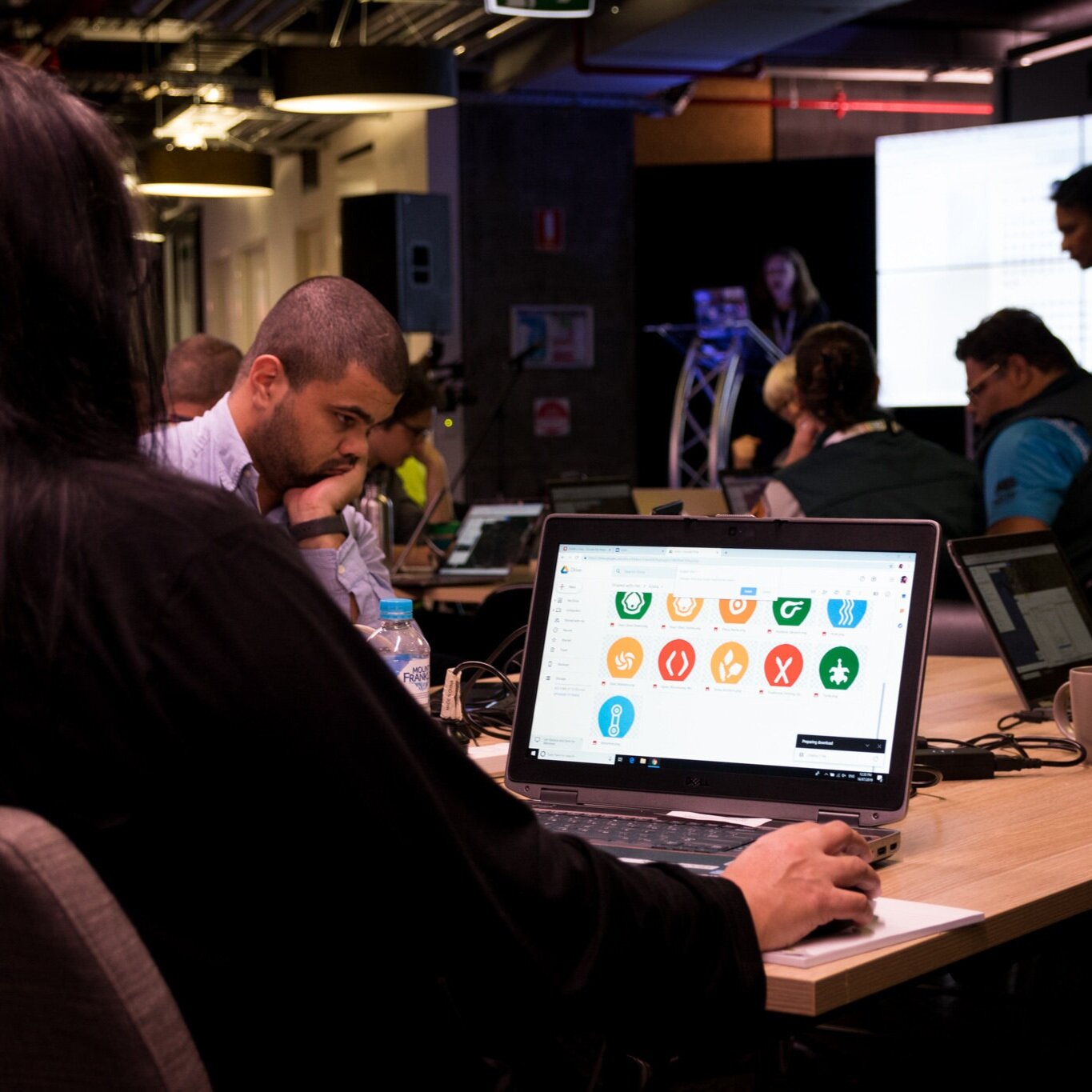
Google and Winyama have developed a set of icons to help Aboriginal and Torres Strait Islander communities map cultural and natural resources using Google's mapping tools (ie: Google Earth, Google My Maps) or other applications that accept custom icons.
These icons were designed by Dennis Golding, a Freelance Designer with Google’s Creative Lab and a descendant of the Kamilaroi/Gamillaraay people from the North West of New South Wales to represent a broad range of Indigenous experience like subsistence harvesting, cultural and sacred sites.
You may link directly to the URL for each icon you wish to use, or download the whole set of icons. You’re all invited to use them and we always encourage feedback about new icons to add to the collection.
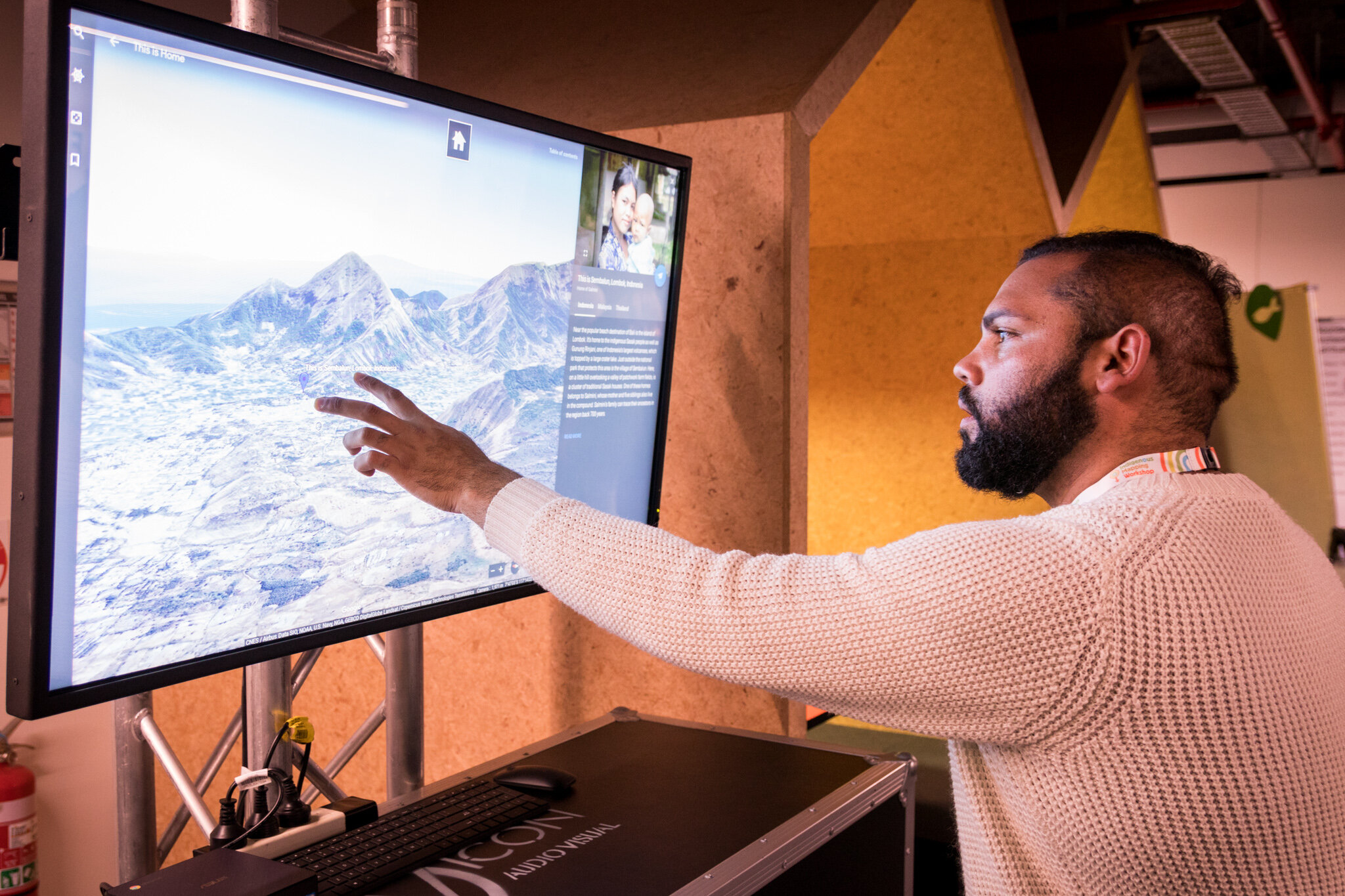
Watch how we made the Indigenous iconography!
Google Earth Outreach supported and attended the Indigenous Mapping Workshop in 2019. They captured the process and involvement of the IMW attendees in the creation of the Australian Indigenous Mapping Iconography.
Play the video to see how it all happened.
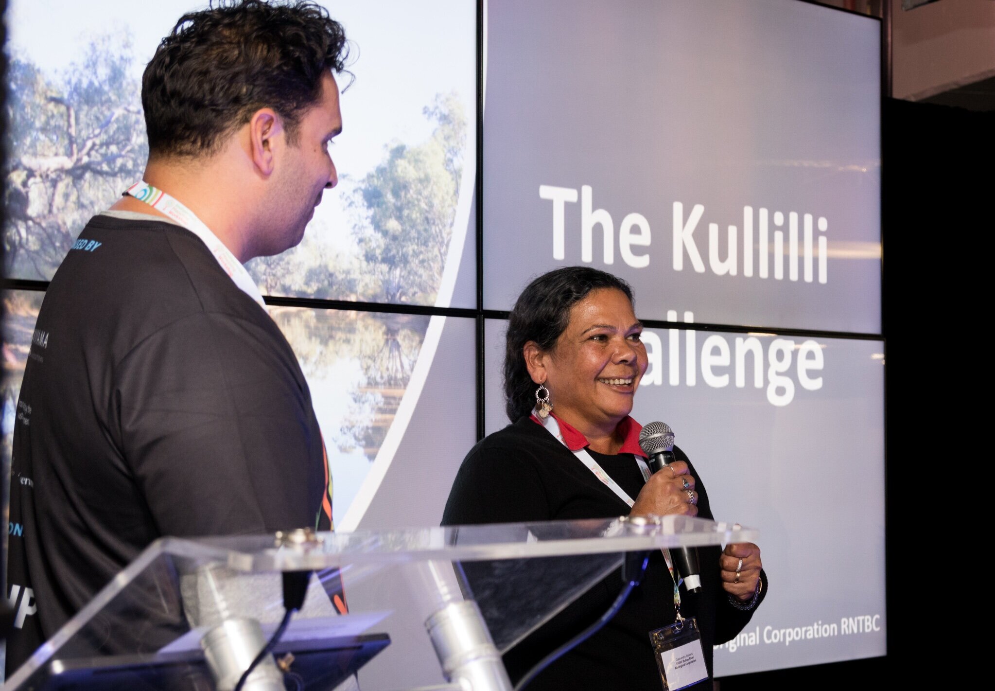
Indigenous Mapping Workshop 2019 Lightning Rounds
Our favourite part of the Indigenous Mapping Workshop is the cultural connection and knowledge sharing that comes from our lightning round presentations.
At the 2019 workshop, we had many different presenters who shared their mapping projects on Indigenous research, Indigenous Ranger Programs, Cultural Recording Projects, Connection to Country and Contemporary Mapping.
Take a look at some of these awesome presentations here!
Blog Resources
Check out some our favourite blogs and ‘How to’ guides for Indigenous Mapping and Data!


Do you want to start learning with IMW Australia? Apply for the IMW Australia - On Demand now!